[an epilogue]
 Map Asia 2005 is the 4th annual conference organized by GIS Development PTE. Ltd. - Singapore in collaboration with Indonesia’s Bakosurtanal, Asosiasi Perusahaan Survey dan Pemetaan (APSPI ) – INDONESIA, Center for Science, Development and Media Studies (CSDMS) - India,and the Asian Institute of Technology - Thailand. The conference was undertaken in Mulia Hotel, Jakarta Indonesia on 22-25 August 2005. Bellow are some important notes about the conference.
Registration and Opening Ceremony
The registration started at 10 am and ended at 4 pm when the opening ceremony began. The conference was officially opened by The Indonesian Minister of Research and Technology, DR. Kusmayanto Kadiman, who is an alumnus of the Australian National University. Other speeches were also delivered by The Head of Indonesia’s Bakosurtanal (MR. Matindas), the president of Map Asia 2005 (Prof. Narayanan), and local organizing committee (Mr. Purnawan).
Hitting the “Gong” officially inaugurated the conference and all its programs including exhibitions, technology shows, and workshops. The ceremony ended with an inaugural dinner in the Grand Ball Room of Mulia Hotel.
Plenary and Keynote Sessions
The first day [23 August 2005] started with plenary session I: empowering People through Geospatial Information with three speakers. This was followed by keynote session I : Web GIS with also three speakers. The second day [24 August 2005] has one plenary session and one keynote session with total of 5 speakers. The plenary session was on Regional Cooperation while the keynote session is about Large Scale Mapping. In keynote session, speakers excessively discuss the advance in large scale mapping and the availability of large scale data in the internet. Google Earth was one of the phenomena that discussed a lot.
Seminar Sessions
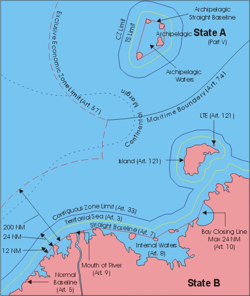
There were three seminar sessions in the conference. I presented my paper in one of the seminar sessions: Marine and Coastal GIS which was chaired by Drs. Michiel Damen from ITC, the Netherlands. My paper is “Ambalat: A Spatial and Technical Perspective”, penned with Clive Schofield of The University of Wollongong. Other seminar sessions are Space Program and RS, and Disaster Management distributed in some parallel sessions. That is why, it was impossible to attend all presentations as some are delivered at exactly the same time.
Technical Sessions
This consists of 16 sessions: Geological Applications; Water Resources; Land Information System; Open Geospatial Consortium workshop on interoperability; Disaster Management; Traffic and Transportation; Precision Farming and Agriculture; Environment and Forestry; Urban and Town Planning; Digital Image Processing; Web GIS/Internet GIS; Photogrammetry and 3D Visualization; Database Design and Ontologies; Land Cover, Use and Change; Emerging Applications; Natural Resource Exploration and Planning. Similar to seminar session, this session was also distributed into some parallel session in different venues, so visitors had to decide which presentation to attend.
Networking
The Conference, to me, was a very good event where we could start building international networking among experts, industries and users of geospatial technology. Some opportunities were available such as software share, training, data exchange, collaborative research, etc. Some industries even freely distributed data, software, magazines and books to exhibition visitors.
More Information
For more information, please visit www.mapasia.org. Proceeeding CD and abstracts collection are available. Please contact me for a copy